 W
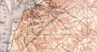
WThe Anacostia River is a river in the Mid Atlantic region of the United States. It flows from Prince George's County in Maryland into Washington, D.C., where it joins with the Washington Channel to empty into the Potomac River at Buzzard Point. It is approximately 8.7 miles (14.0 km) long. The name "Anacostia" derives from the area's early history as Nacotchtank, a settlement of Necostan or Anacostan Native Americans on the banks of the Anacostia River.
 W
WBoundary Channel is a channel off the Potomac River in Washington, D.C. The channel begins at the northwestern tip of Columbia Island extends southward between Columbia Island and the Virginia shoreline. It curves around the southern tip of Columbia Island before heading northeast to exit into the Potomac River. At the southwestern tip of Columbia Island, the Boundary Channel widens into the manmade Pentagon Lagoon.
 W
WJames Creek was a tributary of the Anacostia River in the southwest quadrant of Washington, D.C., once known as St. James' Creek and perhaps named after local landowner James Greenleaf.
 W
WOxon Creek is a stream on the Potomac River which feeds a cove that straddles the border between Washington, D.C. and Prince George's County, Maryland just north of Interstate 495 at Woodrow Wilson Bridge. Oxon Creek heads at the confluence of Oxon Run and Barnaby Run, sometimes referred to as Winkle Doodle Run. It starts just inside the boundary of D.C. and then runs 1.5 miles (2.4 km) to the south and west into Maryland to empty into the Potomac at Goose Island across from the city of Alexandria, Virginia. Before reaching the Potomac, the creek widens to form Oxon Cove which is partially in Maryland and partially in Washington, D.C.. The creek is almost entirely within Oxon Cove National Park, except for the first few feet in D.C. and a portion of the cove on the southside of the Blue Plains Advanced Wastewater Treatment Plant.
 W
WOxon Run is a tributary stream of Oxon Creek and the Potomac River in Prince George's County, Maryland, and Washington, D.C.
 W
WPiney Branch is a tributary of Rock Creek in Washington, D.C. It is the largest tributary located entirely within the Washington city limits.
 W
WThe Potomac River is found within the Mid-Atlantic region of the United States and flows from the Potomac Highlands into the Chesapeake Bay. The river is approximately 405 miles (652 km) long, with a drainage area of about 14,700 square miles (38,000 km2). In terms of area, this makes the Potomac River the fourth largest river along the Atlantic coast of the United States and the 21st largest in the United States. Over 5 million people live within the Potomac watershed.
 W
WRock Creek is a free-flowing tributary of the Potomac River that empties into the Atlantic Ocean via the Chesapeake Bay. The 32.6-mile (52.5 km) creek drains about 76.5 square miles (198 km2). Its final quarter-mile is affected by tides.
 W
WTiber Creek or Tyber Creek, originally named Goose Creek, is a tributary of the Potomac River in Washington, D.C. It was a free-flowing creek until 1815, when it was channeled to become part of the Washington City Canal. Presently, it flows under the city in tunnels, including under Constitution Avenue NW.
 W
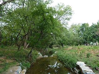
WWatts Branch is a tributary stream of the Anacostia River in Prince George's County, Maryland, and Washington, D.C.